Rethinking Electoral Maps
Every 10 years in the United States, states draw new voting district boundaries in response to the latest U.S. census data. This process has long been fraught, with accusations of gerrymandering coming from whichever party is not in power, since voting districts can affect election outcomes.
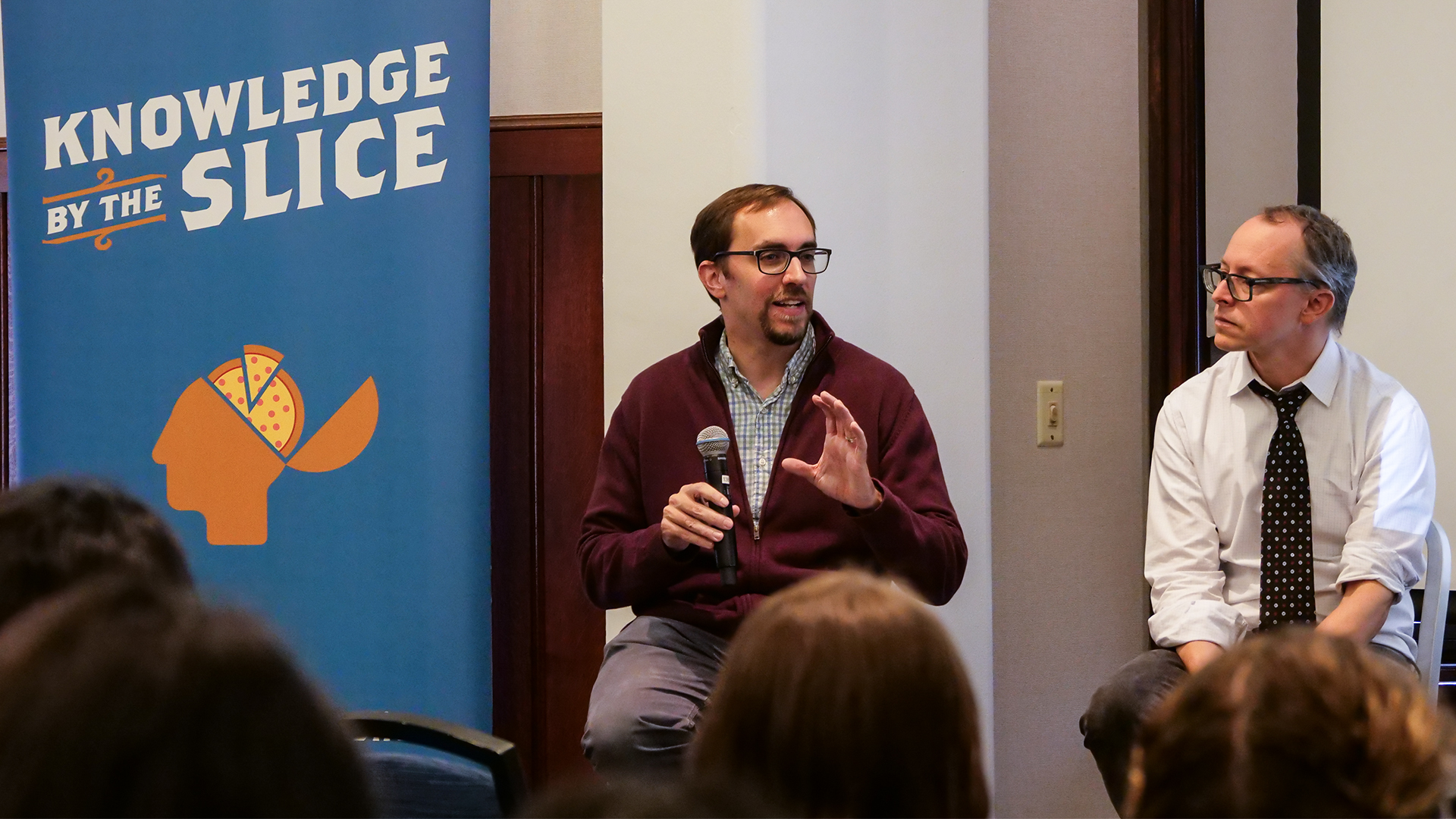
Philip Gressman, Professor of Mathematics, says the last 10 years have brought significant improvements in computational capabilities, which can help make electoral maps fairer and prevent the manipulation of boundaries for the gain of a particular party, group, race, or socioeconomic class. In this Knowledge by the Slice, he describes the work mathematicians are doing to make the redistricting process fairer and less biased.
Professor Gressman is joined by Daniel Hopkins, Professor of Political Science, whose research centers on American politics, with a special emphasis on racial and ethnic politics, state/local politics, political behavior, and research methods. Together they explore how these methods could work, and why it would be a good thing for U.S. elections and citizens.
